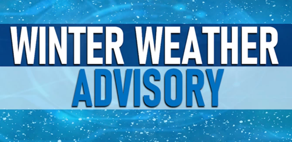
The National Weather Service in Paducah, Kentucky has issued a Winter Weather Advisory today!
Affected Area
Portions of western Kentucky and southeast Missouri
Description
...WINTER WEATHER ADVISORY IN EFFECT FROM 2 PM THIS AFTERNOON TO 10 PM CST THIS EVENING...
WHAT...Mixed precipitation expected. Total snow and sleet accumulations less than a half inch and ice accumulations of a light glaze to around 0.05 inches.
WHERE...Portions of western Kentucky and southeast Missouri.
WHEN...From 2 PM this afternoon to 10 PM CST this evening.
IMPACTS...Plan on slippery road conditions. The hazardous conditions will impact the evening commute.
PRECAUTIONARY/PREPAREDNESS ACTIONS...
Slow down and use caution while traveling.
The National Weather Service in Paducah, Kentucky has issued a Winter Storm Warning until 9 a.m. Tuesday, January 31, 2023.
Affected Area
Description
The National Weather Service in Paducah, Kentucky has issued a Winter Weather Advisory for Stoddard County, Missouri until 9 a.m. Monday morning.
Affected Area
Description
The National Weather Service has issued a Winter Weather Advisory for Stoddard County, Missouri.
Affected Area
Description
Stoddard County, MO - The National Weather Service in Paducah, KY has issued a Flood Advisory until 7:45 p.m. this evening.
Affected Area
A portion of southeast Missouri, including the following counties, Bollinger, Cape Girardeau, Scott, and Stoddard
Description
...FLOOD ADVISORY IN EFFECT UNTIL 745 PM CST THIS EVENING...
WHAT...Additional ongoing rainfall will be adding to what has already fallen, which will produce street and low land flooding issues.
WHERE...A portion of southeast Missouri, including the following counties, Bollinger, Cape Girardeau, Scott, and Stoddard.
WHEN...Until 745 PM CST.
IMPACTS...Minor flooding in low-lying and poor drainage areas.
ADDITIONAL DETAILS... - At 437 PM CST, Doppler radar indicated heavy rain due to thunderstorms. Minor flooding is already occurring in the advisory area. The public reported water starting to flood around Highway 177 in Cape Girardeau county, Missouri. - Some locations that will experience flooding include... Cape Girardeau, Sikeston, Jackson, Dexter, Scott City, Chaffee, Bernie, Bloomfield, Marble Hill, Advance, Oran, Miner, Benton, Bollinger Mill State Historic Site, Trail Of Tears State Park, Morehouse, Puxico, Morley, Kelso and Essex.
The National Weather Service in Paducah, Kentucky has issued a Flood Watch for Stoddard County.
Affected Area
Description
More Information
The National Weather Service in Paducah, Kentucky has issued a Special Weather Statement. Possible snow accumulation until 4 a.m.