
The National Weather Service in Paducah, Kentucky has issued a Special Weather Statement for Stoddard County, Missouri.
Description
...Elevated Fire Potential Will Continue Through The Weekend...
Ongoing drought conditions have resulted in very dry vegetation across our region, and no rain is expected through the weekend. Although relative humidity will gradually increase each day, the winds will become stronger over the weekend. The danger of field and woods fires will remain quite high until early next week, when rain chances will increase.
Outdoor burning is not recommended. Bans on outdoor burning have been issued in many counties. Be especially careful with matches and smoking materials. Hot vehicle exhaust pipes can ignite grass.
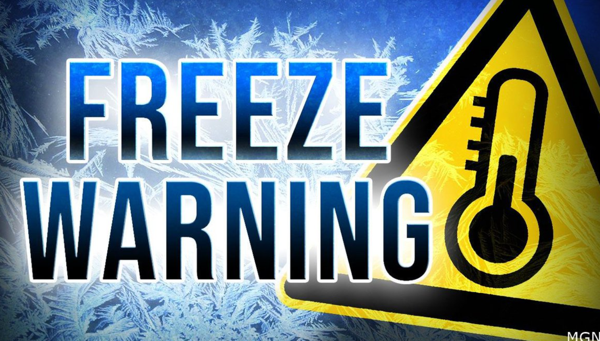
The National Weather Service in Paducah, KY has issued a FREEZE WARNING for Stoddard County tonight!
Affected Area
Portions of southern Illinois, southwest Indiana, western Kentucky and southeast Missouri
Description
...FREEZE WARNING REMAINS IN EFFECT FROM 9 PM THIS EVENING TO 9 AM CDT TUESDAY...
WHAT...Sub-freezing temperatures as low as 25 expected.
WHERE...Portions of southern Illinois, southwest Indiana, western Kentucky and southeast Missouri.
WHEN...From 9 PM this evening to 9 AM CDT Tuesday.
IMPACTS...Frost and freeze conditions could kill crops, other sensitive vegetation and possibly damage unprotected outdoor plumbing. This will effectively end the growing season.
PRECAUTIONARY/PREPAREDNESS ACTIONS...
Take steps now to protect tender plants from the cold.
A Freeze Warning means sub-freezing temperatures are imminent or highly likely. These conditions will kill crops and other sensitive vegetation.

Stoddard County, MO - The National Weather Service in Paducah, Kentucky has issued a FREEZE Watch for all of Stoddard County Monday evening.F
Affected Area
Description

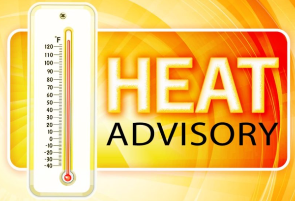
Stoddard County, MO - The National Weather Service in Paducah, KY has issued a Heat Advisory for Stoddard County from 1 p.m. this afternoon - 8 p.m. Wednesday.
Affected Area
Portions of southeast Missouri and southern Illinois, mainly along and west of a Mount Vernon, Illinois, to Cairo, to Poplar Bluff, Missouri line
Description
...HEAT ADVISORY IN EFFECT FROM 1 PM THIS AFTERNOON TO 8 PM CDT WEDNESDAY...
WHAT...Heat index values up to around 105 expected.
WHERE...Portions of southeast Missouri and southern Illinois, mainly along and west of a Mount Vernon, Illinois, to Cairo, to Poplar Bluff, Missouri line.
WHEN...From 1 PM this afternoon to 8 PM CDT Wednesday.
IMPACTS...Hot temperatures and high humidity may cause heat illnesses to occur.
ADDITIONAL DETAILS...Prolonged heat and humidity with no significant break from the heat will exacerbate the impact. Be prepared for this lengthy duration of high heat and humidity.
PRECAUTIONARY/PREPAREDNESS ACTIONS...
Drink plenty of fluids, stay in an air-conditioned room, stay out of the sun, and check up on relatives and neighbors. Young children and pets should never be left unattended in vehicles under any circumstances.
Take extra precautions if you work or spend time outside. When possible reschedule strenuous activities to early morning or evening. Know the signs and symptoms of heat exhaustion and heat stroke. Wear lightweight and loose fitting clothing when possible. To reduce risk during outdoor work, the Occupational Safety and Health Administration recommends scheduling frequent rest breaks in shaded or air conditioned environments. Anyone overcome by heat should be moved to a cool and shaded location. Heat stroke is an emergency! Call 9 1 1.

Stoddard County, MO - The National Weather Service in Paducah, KY has issued a SEVERE THUNDERSTORM WARNING for West Central Stoddard County until 8:30 p.m.
Description
...A SEVERE THUNDERSTORM WARNING REMAINS IN EFFECT UNTIL 830 PM CDT FOR WEST CENTRAL STODDARD COUNTY...
At 758 PM CDT, a severe thunderstorm was located near Puxico, or 9 miles west of Bloomfield, moving southeast at 25 mph.
HAZARD...60 mph wind gusts and penny size hail.
SOURCE...Radar indicated.
IMPACT...Expect damage to roofs, siding, and trees.
Locations impacted include... Bloomfield.
PRECAUTIONARY/PREPAREDNESS ACTIONS...
For your protection move to an interior room on the lowest floor of a building.
HAIL THREAT...RADAR INDICATED; MAX HAIL SIZE...0.75 IN; WIND THREAT...RADAR INDICATED; MAX WIND GUST...60 MPH
The National Weather Service in Paducah, Kentucky has issued a Heat Advisory until 8 p.m. Sunday, July 24, 2022.
Affected Area
Southeast Missouri and portions of western Kentucky and southern Illinois, to the west of a Wickliffe Kentucky to Mt Vernon Illinois line
Description
...HEAT ADVISORY REMAINS IN EFFECT UNTIL 8 PM CDT SUNDAY...
WHAT...Heat index values 105 to 110 each afternoon.
WHERE...Southeast Missouri and portions of western Kentucky and southern Illinois, to the west of a Wickliffe Kentucky to Mt Vernon Illinois line.
WHEN...Until 8 PM CDT Sunday.
IMPACTS...Hot temperatures and high humidity may cause heat illnesses to occur.
PRECAUTIONARY/PREPAREDNESS ACTIONS...
Drink plenty of fluids, stay in an air-conditioned room, stay out of the sun, and check up on relatives and neighbors. Young children and pets should never be left unattended in vehicles under any circumstances.
Take extra precautions if you work or spend time outside. When possible reschedule strenuous activities to early morning or evening. Know the signs and symptoms of heat exhaustion and heat stroke. Wear lightweight and loose fitting clothing when possible. To reduce risk during outdoor work, the Occupational Safety and Health Administration recommends scheduling frequent rest breaks in shaded or air conditioned environments. Anyone overcome by heat should be moved to a cool and shaded location. Heat stroke is an emergency! Call 9 1 1.
Weather provided by Bagby Wealth Management.

Stoddard County, MO - The National Weather Service in Paducah, KY has issued a Heat Advisory for Stoddard County for Tuesday, July 19, 2022.
Affected Area
Portions of southeast Missouri, far west Kentucky and far southwest Illinois
Description
...HEAT ADVISORY IN EFFECT FROM 1 PM TO 8 PM CDT TUESDAY...
WHAT...Heat index values up to 106 expected.
WHERE...Portions of southeast Missouri, far west Kentucky and far southwest Illinois.
WHEN...From 1 PM to 8 PM CDT Tuesday.
IMPACTS...Hot temperatures and high humidity may cause heat illnesses to occur.
ADDITIONAL DETAILS...The Heat Advisory includes the following counties in southeast Missouri: Bollinger, Butler, Cape Girardeau, Carter, Mississippi, New Madrid, Ripley, Scott, Stoddard, and Wayne. In southwest Illinois: Alexander, Pulaski, and Union. In west Kentucky: Ballard, Carlisle, Fulton, and Hickman.
PRECAUTIONARY/PREPAREDNESS ACTIONS...
Drink plenty of fluids, stay in an air-conditioned room, stay out of the sun, and check up on relatives and neighbors. Young children and pets should never be left unattended in vehicles under any circumstances.
Take extra precautions if you work or spend time outside. When possible reschedule strenuous activities to early morning or evening. Know the signs and symptoms of heat exhaustion and heat stroke. Wear lightweight and loose fitting clothing when possible. To reduce risk during outdoor work, the Occupational Safety and Health Administration recommends scheduling frequent rest breaks in shaded or air conditioned environments. Anyone overcome by heat should be moved to a cool and shaded location. Heat stroke is an emergency! Call 9 1 1.

