ShowMe Weather
Wind Advisory Issued for Stoddard County, MO
February 27th 2024 by Dee Loflin

The National Weather Service in Paducah, Kentucky has issued a Wind Advisory for Stoddard County, MO.
Affected Area
All of southern Illinois, southwest Indiana, western Kentucky, and southeast Missouri
Description
...WIND ADVISORY REMAINS IN EFFECT FROM 7 AM CST /7 AM EST/ THIS MORNING TO 3 AM CST /3 AM EST/ WEDNESDAY... WHAT...Southwest winds 15 to 25 mph with gusts up to 40 mph expected. WHERE...All of southern Illinois, southwest Indiana, western Kentucky, and southeast Missouri. WHEN...From 7 AM CST /8 AM EST/ Tuesday to 3 AM CST /4 AM EST/ Wednesday. IMPACTS...Gusty winds could blow around unsecured objects. Tree limbs could be blown down and a few power outages may result. Automotive travel will be impacted, especially for high profile vehicles. Lakes will have high wave potential as well. ADDITIONAL DETAILS...Peak wind gusts will likely be in the afternoon or early evening for most of the area. PRECAUTIONARY/PREPAREDNESS ACTIONS... Use extra caution when driving, especially if operating a high profile vehicle. Secure outdoor objects.
Last Updated on February 27th 2024 by Dee Loflin
https://showmetimes.com/Blogpost/vjd7/Wind-Advisory-Issued-for-Stoddard-County-MO
Special Weather Statement for Stoddard County, MO - Friday, February 16th
February 15th 2024 by Dee Loflin

The National Weather Service in Paducah, Kentucky has issued a Special Weather Statement for Stoddard County, MO.
Description
...Light Snow Accumulations Possible on Friday... Precipitation will begin in the form of rain for many locations on Friday.
As colder air works southward across the region, a wintry mix of sleet and snow will be possible through the afternoon and into the early evening before ending. The potential exists for some light slushy accumulations ranging from a dusting to around an inch. Right now the highest amounts appear most likely along the I-64 corridor in southern Illinois and southwest Indiana.
However, this may fluctuate some still. Warm ground temperatures and time of day may largely limit any accumulations to grassy and elevated surfaces. However, if brief heavy rates are realized then a slushy accumulation may occur on a few roads.
Last Updated on February 15th 2024 by Dee Loflin
https://showmetimes.com/Blogpost/vjbv/Special-Weather-Statement-for-Stoddard-County-MO--Friday-February-16th
Winter Weather Advisory Issued for Stoddard County from Noon to Midnight Today
February 12th 2024 by Dee Loflin
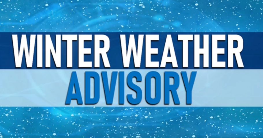
The National Weather Service in Paducah, Kentucky has issued a Winter Weather Advisory for Stoddard County, Missouri.
Affected Area
Portions of southern Illinois, western Kentucky, and southeast Missouri
Description
...WINTER WEATHER ADVISORY IN EFFECT FROM NOON TODAY TO MIDNIGHT CST TONIGHT... WHAT...Wet snow expected. Total snow accumulations of up to one inch...but localized higher amounts are possible. WHERE...Portions of southern Illinois, western Kentucky, and southeast Missouri. WHEN...From noon Today to midnight CST Tonight. IMPACTS...A narrow band of heavy snow will be capable of causing highly variable slushy pavement accumulations. Locally 1 to 2 inch per hour snowfall rates are possible. The greatest totals are expected to occur on grassy and elevated surfaces. Slippery road conditions are also possible where heavier snow occurs. ADDITIONAL DETAILS...Confidence remains low in if and where the narrow bands of heavy snow will set up. A slight shift north or south will make a huge difference in seeing minor impacts or no impacts at all. PRECAUTIONARY/PREPAREDNESS ACTIONS... Slow down and use caution while traveling. The latest road conditions for the state you are calling from can be obtained by calling 5 1 1.
Last Updated on February 12th 2024 by Dee Loflin
https://showmetimes.com/Blogpost/vjb4/Winter-Weather-Advisory-Issued-for-Stoddard-County-from-Noon-to-Midnight-Today
Dense Fog Advisory Issued for Stoddard County, Missouri
January 24th 2024 by Dee Loflin

The National Weather Service in Paducah, Kentucky has issued a Dense Fog Advisory until Noon CST Thursday, January 25, 2024.
Affected Area
Portions of southern Illinois and southeast Missouri
Description
...DENSE FOG ADVISORY REMAINS IN EFFECT UNTIL NOON CST THURSDAY... WHAT...Visibility one quarter mile or less in dense fog. WHERE...Portions of southern Illinois and southeast Missouri. WHEN...Until noon CST /1 PM EST/ Thursday. IMPACTS...Hazardous driving conditions due to low visibility. ADDITIONAL DETAILS...The dense fog advisory covers most of southeast Missouri and southern Illinois. While portions of the region may experience visibilities above 1/4 mile this afternoon, they are expected to decrease again this evening. PRECAUTIONARY/PREPAREDNESS ACTIONS... If driving, slow down, use your headlights, and leave plenty of distance ahead of you.
Last Updated on January 24th 2024 by Dee Loflin
https://showmetimes.com/Blogpost/vja6/Dense-Fog-Advisory-Issued-for-Stoddard-County-Missouri
Flood Watch Issued for Stoddard County, Missouri
January 23rd 2024 by Dee Loflin

The National Weather Service in Paducah, Kentucky issued a Flood Watch through Wednesday morning.
Affected Area
Portions of southern Illinois, including the following areas, Alexander, Johnson, Massac, Pope, Pulaski and Union, western Kentucky, including the following areas, Ballard, Calloway, Carlisle, Fulton, Graves, Hickman, Livingston, Marshall and McCracken, and southeast Missouri, including the following areas, Bollinger, Butler, Cape Girardeau, Carter, Mississippi, New Madrid, Ripley, Scott, Stoddard and Wayne MO
Description
...FLOOD WATCH IN EFFECT FROM 6 PM CST THIS EVENING THROUGH WEDNESDAY MORNING... WHAT...Flooding caused by excessive rainfall is possible. WHERE...Portions of southern Illinois, including the following areas, Alexander, Johnson, Massac, Pope, Pulaski and Union, western Kentucky, including the following areas, Ballard, Calloway, Carlisle, Fulton, Graves, Hickman, Livingston, Marshall and McCracken, and southeast Missouri, including the following areas, Bollinger, Butler, Cape Girardeau, Carter, Mississippi, New Madrid, Ripley, Scott, Stoddard and Wayne MO. WHEN...From 6 PM CST this evening through Wednesday morning. IMPACTS...Excessive runoff may result in flooding of rivers, creeks, streams, and other low-lying and flood-prone locations. Flooding may occur in poor drainage and urban areas. Low-water crossings may be flooded. ADDITIONAL DETAILS... - After receiving around 0.5 to 1.5 inches of rain Monday night, another round of heavy rain is expected tonight through Wednesday morning. Another 1 to 2 inches of rain is possible, with locally higher amount possible across southeast Missouri. With the ground still frozen from the recent cold wave, excessive runoff from heavy rain is likely and will cause scattered flooding issues to develop in the Flood Watch area. - http://www.weather.gov/safety/flood PRECAUTIONARY/PREPAREDNESS ACTIONS... You should monitor later forecasts and be alert for possible Flood Warnings. Those living in areas prone to flooding should be prepared to take action should flooding develop.
Last Updated on January 23rd 2024 by Dee Loflin
https://showmetimes.com/Blogpost/vja2/Flood-Watch-Issued-for-Stoddard-County-Missouri
Dense Fog Advisory Issued Until Wednesday Afternoon
January 23rd 2024 by Dee Loflin

The National Weather Service in Paducah, Kentucky has issued a Dense Fog Advisory
Affected Area
Portions of southern Illinois, southwest Indiana, western Kentucky and southeast Missouri
Description
...DENSE FOG ADVISORY IN EFFECT UNTIL NOON CST /1 PM EST/ WEDNESDAY... WHAT...Visibility one quarter mile or less in dense fog. WHERE...Portions of southern Illinois, southwest Indiana, western Kentucky and southeast Missouri. WHEN...Until noon CST /1 PM EST/ Wednesday. IMPACTS...Hazardous driving conditions due to low visibility. ADDITIONAL DETAILS...The dense fog advisory covers all of southeast Missouri, southern Illinois, southwest Indiana, and far west and northwest Kentucky. PRECAUTIONARY/PREPAREDNESS ACTIONS... If driving, slow down, use your headlights, and leave plenty of distance ahead of you.
Last Updated on January 23rd 2024 by Dee Loflin
https://showmetimes.com/Blogpost/vja1/Dense-Fog-Advisory-Issued-Until-Wednesday-Afternoon
Wind Chill Advisory Issued for Stoddard County for Friday, January 19th
January 19th 2024 by Dee Loflin

The National Weather Service in Paducah, Kentucky has issued a Wind Chill Advisory for Stoddard County, Missouri.
Affected Area
southern Illinois, southeast Missouri, and southwest Indiana
Description
...WIND CHILL ADVISORY REMAINS IN EFFECT FROM 9 PM CST /10 PM EST/ THIS EVENING TO 9 AM CST /10 AM EST/ SATURDAY... WHAT...Very cold wind chills expected with wind chill values as low as 10 to 14 degrees below zero. WHERE...southern Illinois, southeast Missouri, and southwest Indiana. WHEN...From 9 PM CST this evening to 9 AM CST Saturday. IMPACTS...The cold wind chills could result in hypothermia if precautions are not taken. PRECAUTIONARY/PREPAREDNESS ACTIONS... Use caution while traveling outside. Wear appropriate clothing, a hat, and gloves.
Last Updated on January 19th 2024 by Dee Loflin
https://showmetimes.com/Blogpost/vj9h/Wind-Chill-Advisory-Issued-for-Stoddard-County-for-Friday-January-19th

