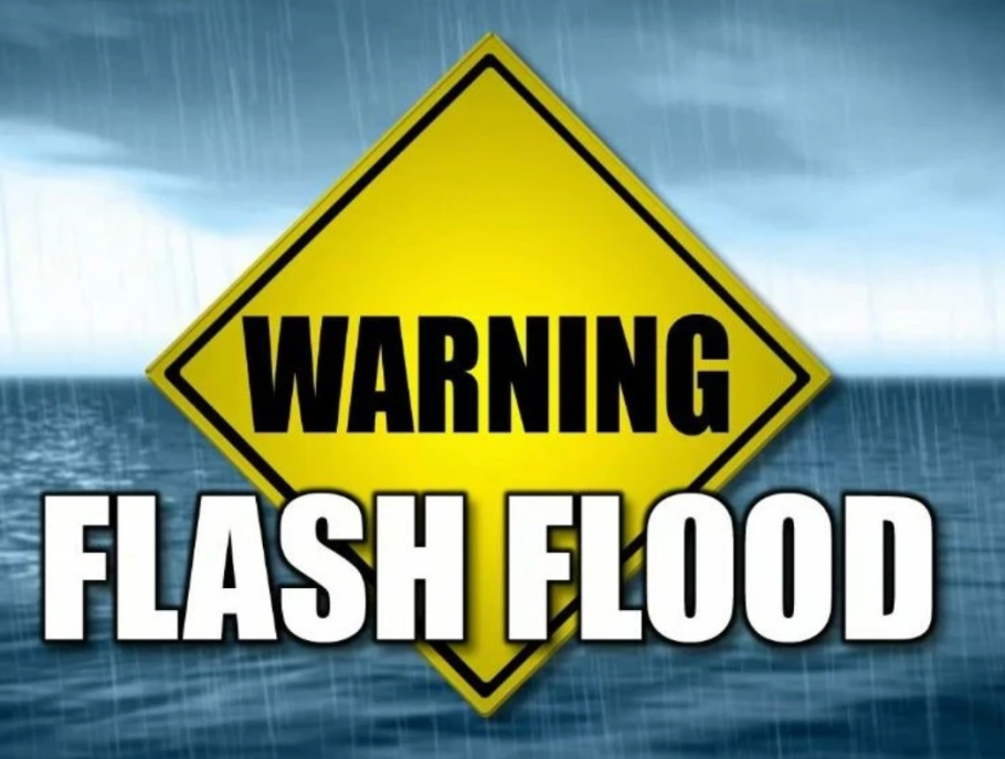
The National Weather Service in Paducah, Kentucky has issued a Flood Warning as the St. Francis River near Fisk is rising today.
Affected Area
Description
More Information

The National Weather Service is predicting 10+ inches of rain in our area throughout Thursday - Sunday's event.
Issued By
Affected Area
Description
More Information
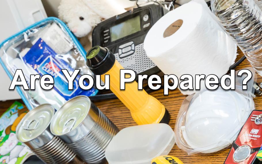
Basic Disaster Supplies Kit
To assemble your kit store items in airtight plastic bags and put your entire disaster supplies kit in one or two easy-to-carry containers such as plastic bins or a duffel bag.
A basic emergency supply kit could include the following recommended items:
- Water (one gallon per person per day for several days, for drinking and sanitation)
- Food (at least a several-day supply of non-perishable food)
- Battery-powered or hand crank radio and a NOAA Weather Radio with tone alert
- Flashlight
- First aid kit
- Extra batteries
- Whistle (to signal for help)
- Dust mask (to help filter contaminated air)
- Plastic sheeting, scissors and duct tape (to shelter in place)
- Moist towelettes, garbage bags and plastic ties (for personal sanitation)
- Wrench or pliers (to turn off utilities)
- Manual can opener (for food)
- Local maps
- Cell phone with chargers and a backup battery
Additional Emergency Supplies
Consider adding the following items to your emergency supply kit based on your individual needs:
- Soap, hand sanitizer and disinfecting wipes to disinfect surfaces
- Prescription medications. About half of all Americans take a prescription medicine every day. An emergency can make it difficult for them to refill their prescription or to find an open pharmacy. Organize and protect your prescriptions, over-the-counter drugs, and vitamins to prepare for an emergency.
- Non-prescription medications such as pain relievers, anti-diarrhea medication, antacids or laxatives
- Prescription eyeglasses and contact lens solution
- Infant formula, bottles, diapers, wipes and diaper rash cream
- Pet food and extra water for your pet
- Cash or traveler's checks
- Important family documents such as copies of insurance policies, identification and bank account records saved electronically or in a waterproof, portable container
- Sleeping bag or warm blanket for each person
- Complete change of clothing appropriate for your climate and sturdy shoes
- Fire extinguisher
- Matches in a waterproof container
- Feminine supplies and personal hygiene items
- Mess kits, paper cups, plates, paper towels and plastic utensils
- Paper and pencil
- Books, games, puzzles or other activities for children
Extreme Cold Safety
 General Information
- Minimize travel.
- Stay indoors during the worst part of the extreme cold.
- Keep a winter survival kit in your vehicle if you must travel.
- Check tire pressure, antifreeze levels, heater/defroster, etc.
- Learn how to shut off water valves for potential pipe bursts.
- Check on the elderly.
- Bring pets inside.
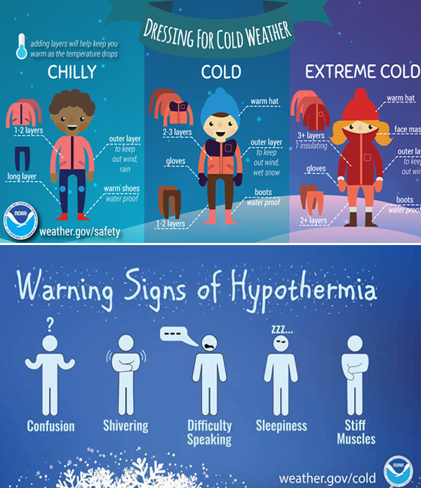
How Should I Dress?
- Wear layers of loose-fitting, lightweight, warm clothing, and a hat.
- Mittens, snug at the wrist, are better than gloves.
- Cover your mouth to protect your lungs from extreme cold.
- Try to stay dry and out of the wind.

The National Wether Service in Paducah, Kentucky has issued a Flood Watch for Stoddard County. Possible rain amounts are 2-3 inches, but could be up to 5 inches.
Action Recommended
Issued By
Affected Area
Description

The National Weather Service in Paducah, Kentucky has issued a Flood Watch until January 31, 2025.
Flood Watch issued January 29 at 12:43PM CST until January 31 at 3:00AM CST by NWS Paducah KY
* WHAT...Flooding caused by excessive rainfall is possible.
* WHERE...Far southern Illinois, south of a Carbondale to Carmi line, including the following areas, Alexander, Gallatin, Hardin, Johnson, Massac, Pope, Pulaski, Saline, Union, and Williamson, southwest Indiana, along and south of Interstate 64, including the following areas, Posey, Spencer, Vanderburgh, and Warrick, all of western Kentucky, including the following areas, Ballard, Caldwell, Calloway, Carlisle, Christian, Crittenden, Daviess, Fulton, Graves, Henderson, Hickman, Hopkins, Livingston, Lyon, Marshall, McCracken, McLean, Muhlenberg, Todd, Trigg, Union KY, and Webster, and all of southeast Missouri except Perry county, including the following areas, Bollinger, Butler, Cape Girardeau, Carter, Mississippi, New Madrid, Ripley, Scott, Stoddard, and Wayne MO.
* WHEN...From late tonight through late Thursday night.
* IMPACTS...Excessive runoff may result in flooding of rivers, creeks, streams, and other low-lying and flood-prone locations.
* ADDITIONAL DETAILS... - A forecast of widespread rains of 1.5 to 2.5 inches across the Watch area. Localized higher totals in the 3 to 4 inch range are possible. - [url_new=http://www.weather.gov/safety/flood
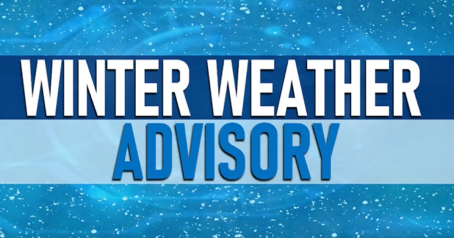
The National Weather Service in Paducah, Kentucky has issued a Winter Weather Advisory for Stoddard County from 2 a.m. Sunday morning to 2 p.m. Sunday afternoon.

