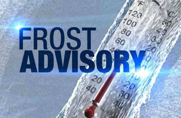
Stoddard County, MO - The National Weather Service in Paducah, Kentucky has issued a Frost Advisory for Stoddard County from 11 p.m. Wednesday evening to 9 a.m. Thursday morning.
Affected Area
For the Freeze Warning, southwestern Indiana, southeastern Missouri, southern Illinois, and western Kentucky, except for most of the Pennyrile region and eastern parts of the Purchase area. For the Frost Advisory, the entire region
Description
...FREEZE WARNING REMAINS IN EFFECT UNTIL 9 AM CDT THIS MORNING... ...FROST ADVISORY IN EFFECT FROM 11 PM THIS EVENING TO 9 AM CDT THURSDAY...
WHAT...For the Freeze Warning, sub-freezing temperatures as low as 29 degrees. For the Frost Advisory, temperatures as low as 31 will result in frost formation.
WHERE...For the Freeze Warning, southwestern Indiana, southeastern Missouri, southern Illinois, and western Kentucky, except for most of the Pennyrile region and eastern parts of the Purchase area. For the Frost Advisory, the entire region.
WHEN...For the Freeze Warning, until 9 AM CDT this morning. For the Frost Advisory, from 11 PM this evening to 9 AM CDT Thursday.
IMPACTS...Frost and freeze conditions will kill crops, other sensitive vegetation and possibly damage unprotected outdoor plumbing.
PRECAUTIONARY/PREPAREDNESS ACTIONS...
Take steps now to protect tender plants from the cold. To prevent freezing and possible bursting of outdoor water pipes they should be wrapped, drained, or allowed to drip slowly. Those that have in-ground sprinkler systems should drain them and cover above- ground pipes to protect them from freezing.

Stoddard County, MO - The National Weather Service has issued a FREEZE WARNING for Stoddard County, MO from 1 a.m. - 9 a.m. Wednesday morning. Weather provided by Bagby Wealth Management.
Affected Area
In Missouri, Butler, Stoddard and Scott Counties. In Illinois, Gallatin, Johnson, Pope, Hardin, Alexander, Pulaski and Massac Counties
Description
...FREEZE WARNING IN EFFECT FROM 1 AM TO 9 AM CDT WEDNESDAY..
WHAT...Sub-freezing temperatures as low as 30 degrees are expected.
WHERE...In Missouri, Butler, Stoddard and Scott Counties. In Illinois, Gallatin, Johnson, Pope, Hardin, Alexander, Pulaski and Massac Counties.
WHEN...From 1 AM to 9 AM CDT Wednesday.
IMPACTS...Frost and freeze conditions will kill crops, other sensitive vegetation and possibly damage unprotected outdoor plumbing.
PRECAUTIONARY/PREPAREDNESS ACTIONS...
Take steps now to protect tender plants from the cold. To prevent freezing and possible bursting of outdoor water pipes they should be wrapped, drained, or allowed to drip slowly. Those that have in-ground sprinkler systems should drain them and cover above- ground pipes to protect them from freezing.

Stoddard County, MO - The National Weather Service in Paducah, KY has issued a FREEZE Warning for Stoddard County.
...FREEZE WARNING REMAINS IN EFFECT FROM 1 AM TO 9 AM CDT THURSDAY... ...FREEZE WARNING IN EFFECT FROM MIDNIGHT THURSDAY NIGHT TO 9 AM CDT FRIDAY...
WHAT...For the first Freeze Warning, sub-freezing temperatures as low as 29 expected. For the second Freeze Warning, sub- freezing temperatures as low as 25 expected.
WHERE...Portions of southwest Indiana, southeast Missouri, western Kentucky and southern Illinois.
WHEN...For the first Freeze Warning, from 1 AM to 9 AM CDT Thursday. For the second Freeze Warning, from midnight Thursday night to 9 AM CDT Friday.
IMPACTS...Frost and freeze conditions will kill crops, other sensitive vegetation and possibly damage unprotected outdoor plumbing.
PRECAUTIONARY/PREPAREDNESS ACTIONS...
Take steps now to protect tender plants from the cold. To prevent freezing and possible bursting of outdoor water pipes they should be wrapped, drained, or allowed to drip slowly. Those that have in-ground sprinkler systems should drain them and cover above- ground pipes to protect them from freezing.
Weather provided by Bagby Wealth Management!


Stoddard County, MO - The National Weather Service has issued a Winter Weather Advisory until 6 p.m. Thursday, February 18, 2021.
Description
...WINTER WEATHER ADVISORY REMAINS IN EFFECT UNTIL 6 PM CST THURSDAY...
WHAT...Snow expected. Total snow accumulations of 1 to 3 inches.
WHERE...Portions of southeast Missouri.
WHEN...Until 6 PM CST Thursday.
IMPACTS...Plan on slippery road conditions. The hazardous conditions could impact the morning or evening commute.
PRECAUTIONARY/PREPAREDNESS ACTIONS...
Slow down and use caution while traveling.
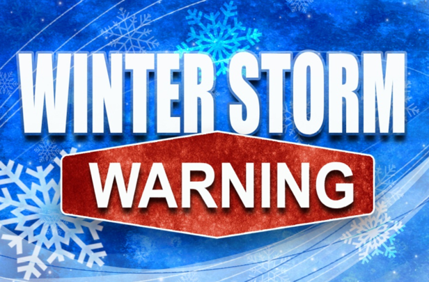
Stoddard County, MO - The National Weather Service in Paducah, KY has issued a WINTER STORM WARNING, total snow accumulations 6 to 12 inches of snow.
Affected Areas
All of southwest Indiana, southeast Missouri, southern Illinois and western Kentucky
Description
...WINTER STORM WARNING REMAINS IN EFFECT FROM 6 PM THIS EVENING TO 6 AM CST TUESDAY...
WHAT...Heavy snow. Total snow accumulations 6 to 12 inches.
WHERE...All of southwest Indiana, southeast Missouri, southern Illinois and western Kentucky.
WHEN...Tonight through Monday evening. Heaviest snow will be Monday.
IMPACTS...Travel conditions will become extremely dangerous tonight and Monday. Commutes Monday morning, Monday evening, and Tuesday morning will be impacted.
ADDITIONAL DETAILS...North winds 10 to 15 mph with gusts to 20 mph will likely cause blowing and drifting of snow. It will remain bitterly cold. Another storm is taking aim on the area later Wednesday through Thursday. As a result, impacts may last through the end of the work week.
PRECAUTIONARY/PREPAREDNESS ACTIONS...
If you must travel, keep an extra flashlight, food, and water in your vehicle in case of an emergency. It will be dangerous to be stranded for any length of time due to the bitterly cold conditions.
More Information
...MAJOR WINTER STORM STARTS TONIGHT AND CONTINUES MONDAY...
.A major winter storm will affect the area tonight through Monday. Significant accumulations of snow, along with blowing snow and bitter cold will make for extremely dangerous travel conditions. Have your affairs in order before the end of the evening. This is not the only storm we will be dealing with this week. A second significant winter storm may affect the area sometime later Wednesday into Thursday.

